BY MATT KITE for WEEKLY VOLCANO 05/02/25:
If you’re like most hikers, you greet the month of May with growing enthusiasm. The weather is warming, the skies are drying out, and you’re dreaming about your next great adventure on the trails. The only problem? Most of the high-elevation hikes on your bucket list are still snowed under and inaccessible.
Fortunately, there are plenty of hikes available at lower elevations that will satisfy your wanderlust during the spring shoulder season. Below are seven such hikes, each of which is close enough to Tacoma to make for a great daytrip and hike.
Hummocks Trail
Total distance: 2.4 miles. Net elevation gain: 100’. Top elevation: 2,500’. Fee: None.
What happens when a volcano blows its stack? The evidence is all around you on the Hummocks Trail, which is located just beyond Coldwater Lake at the foot of Mount St. Helens. When the mountain erupted in 1980, it deposited huge chunks of earth nearby. Those mounds are called hummocks and can be explored on foot during this short, gently rolling loop that is easy on the legs and a feast for the eyes. Panoramic views of the mountain’s sprawling northern flank and craggy crater compete with up-close views of wetlands and ponds. Take the kids, take your time, and enjoy this intimate lesson in geology and volcanology. Frogs, garter snakes, and water fowl are common sightings, and the remnants of an old beaver dam provide a nice reminder that humans aren’t the only animals that like to build things. Do the loop clockwise for the best views.
Second Beach
Total distance: 4 miles. Net elevation gain: 220’ on the return. Top elevation: 220’. Fee: None.
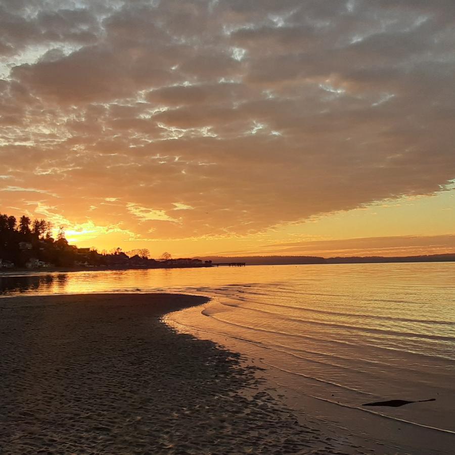
There are more popular hikes along Washington’s rugged coastline than Second Beach near La Push, but few offer such an ideal hiking experience. Gas up the car before hitting the road, and be sure to consult a tide chart ahead of your trip. Time your arrival for when the tide is just beginning to recede. That way you’ll give yourself the maximum time possible to explore the beach, which has a little bit of everything you’d want on a coastal hike: sea stacks, sea caves, a natural arch, beachcombing, and even a lovely forest walk to and from the beach. After taking the short, sometimes steep trail down to the beach, hang a left and follow the tide south to Teahwhit Head, a forbidding headland that makes for a natural turnaround. Then retrace your steps and explore the northern end of the beach, which features an inaccessible natural arch. Picnic on one of the stranded logs and listen to the surf’s soothing roar.
Wilderness Peak Loop
Total distance: 4 miles. Net elevation gain: 1,200’. Top elevation: 1,598’. Fee: None.
Looking for a hike closer to home? The Wilderness Peak Loop at Cougar Mountain near Issaquah is a mere 50-minute drive from Tacoma. This hike doesn’t offer stunning vistas or spectacular landscapes. Instead, it’s all about the journey. Want a workout? Check. There’s just enough climbing to help you break a sweat. Peace and quiet? Check. The route takes you over a handful of sturdy bridges and mossy boardwalks while transporting you into a wilderness of giant boulders, muddy bogs, and musical streams that will make you forget all about the concrete jungle. Moss and ferns grow everywhere, including on rocks, tree trunks, and rotting logs. A bench perfect for picnicking awaits you at the view-less summit. For a hike so close to civilization, this one feels like an escape, especially if you catch it on a quiet weekday.
Murhut Falls
Total distance: 1.6 miles. Net elevation gain: 250’. Top elevation: 1,050’. Fee: None.
Waterfall lovers will appreciate the gentle, short-and-sweet climb to Murhut Falls, a serene hiking destination near Hood Canal. Depending on the severity of the winter, the road in can be a little bumpy toward the end, and parking is limited to a few spots on the side of the gravel road, but this lovely little hike takes you to a picturesque waterfall that plunges 130 feet into a misty forest. Spring hikers will likely spot wild rhododendrons blooming beside the well-groomed trail, once a former logging road. As you begin the final push, listen for the sound of the falls, which come into earshot well before they appear. The viewing area includes a well-worn bench and several good camera angles, and those with a bit of pluck (and solid tread under their hiking boots) can take a side trail to get a bit closer to the spray zone. On the drive back, stop at nearby Ranger Hole for another short-but-scenic trek.
Little Si
Total distance: 3.7 miles. Net elevation gain: 1,300′. Top elevation: 1,550′. Fee: Discover Pass.
Peak baggers regularly climb North Bend’s Little Si, Mount Si’s less-challenging little sister, which is snow-free most of the year. The rocky knob at the top affords a commanding view of Haystack Rock and the imposing flank of Mount Si, and the hike through a low-elevation forest boasts enchanting stretches that look like they’re straight out of a Tolkien novel. After a steep, rocky start, the trail evens out as it winds through calming woods with bubbling streams and flowering understory. A mass of mossy boulders strewn along the forested trail form the acoustic equivalent of an isolation booth in a recording studio. But soon the trail begins to climb more steeply as you tackle the last stretch before the rocky summit. There’s enough room at the top for a handful of hikers to spread out and savor the view of the surrounding peaks and the valley below. Be sure to keep children and pets away from the vertigo-inducing edge.
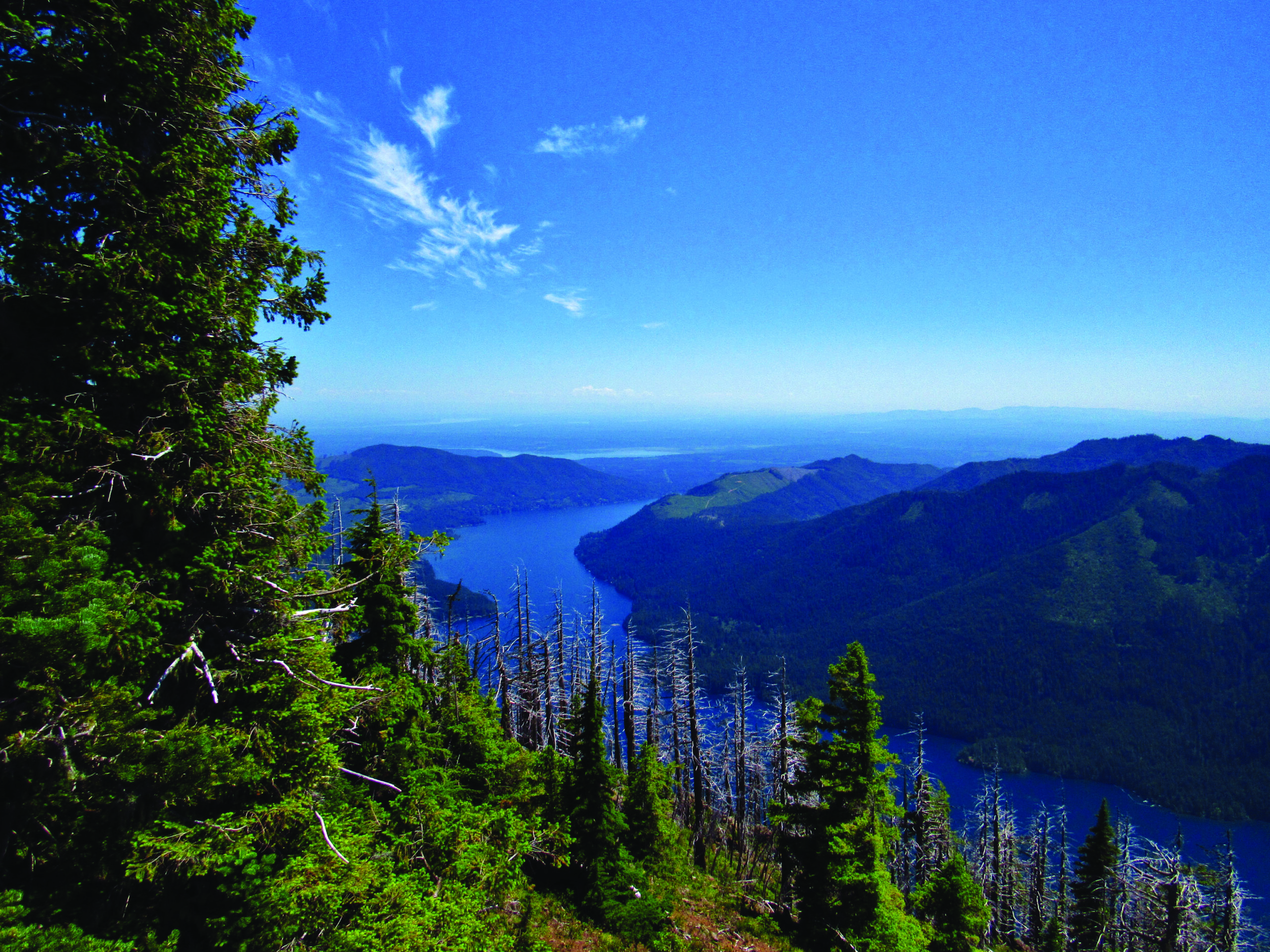
Mount Rose
Total distance: 6.4 miles. Net elevation gain: 3,500’. Top elevation: 4,300’. Fee: None.
Hikers in search of an early-season butt-kicker need search no further than Mt. Rose, near Lake Cushman and Hood Canal. Yes, it’s “only” 3.2 miles to the 4,300’ summit, but you’ll be climbing a touch more than 1,000’ per mile to attain those lofty heights. Thanks to its south-facing perch, not to mention the silvery remnants of an old forest fire near the top, Mt. Rose typically melts out much earlier than its fellow Olympic peaks. During an average spring, any lingering snow is minimal by May, and any winter blowdowns have been cleared by the dedicated Mt. Rose Trail Crew. The trail is shaped like a lollipop, with the round part encompassing the summit loop and the “stick” portion accounting for most of the climbing and return descent. Doing the summit loop clockwise will get the steepest part out of the way and save your knees some grief on the way back down. The rocky summit can only safely hold a few people at a time. Plan accordingly.